4/16/2024 2:54:20 PM
Most of us overlook the intricate systems working behind the scenes that affect our everyday lives. From purchasing real estate, participating in elections, and enrolling a child in school, fascinating technologies we might not know about make many parts of our routine interactions possible.
Minnesota's Public Land Survey System (PLSS) serves as a prime example of such technology. Minnesota IT Services (MNIT) collaborates closely with the land surveying community to safeguard this vital yet frequently overlooked system.

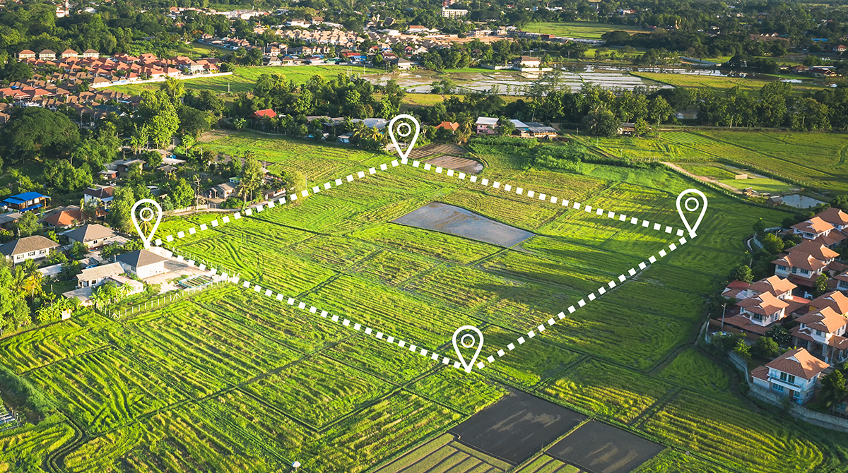
Instituted in 1785, the PLSS divides land into townships and sections, simplifying land identification and descriptions, and enabling efficient land management and real estate transactions. PLSS monumentation involves physically marking important PLSS locations, such as corners of a section or township, with markers called monuments. Minnesota has more than 312,000 PLSS corners across the state. Initially, most monuments were wooden posts. Unfortunately, a lot of these original monuments have been damaged, buried, or lost and require replacement.
On March 20 the Minnesota Society of Professional Land Surveyors (MSPS), Ramsey County, and the City of St. Paul hosted a “Meet Me at the Corner” (MMATC) event near the Minnesota History Center. This hands-on event gave legislators and other interested community members an opportunity to glimpse into the world of land surveying and the importance of preserving the PLSS.

MMATC attendees gathered at a PLSS location marked with a cast-iron monument at the southwest corner of Section 31, Township 29, Range 22, 4th Principal Meridian. Ramsey County Surveyor Dan Baar provided detailed information about the section corner and how the county and City of St. Paul have maintained its position for more than 150 years.

The survey staff of the City of St. Paul demonstrated the technology used in land surveys, showcasing their equipment on-site. Furthermore, event hosts explained the value of preserving the PLSS through a newly launched initiative.

In 2023, the PLSS Monument Grant Program was established to support the restoration and maintenance of the PLSS. The grant program is administered by MNIT’s Geospatial Information Office (MnGeo), and Minnesota county governments are eligible to apply for funding to complete PLSS preservation work.

MnGeo is currently reviewing the first round of grant applications and counties are eager to start the proposed projects. The MMATC event aimed to engage legislators about the importance of continued funding of the grant program.

Why is it important to maintain the PLSS?
By maintaining the PLSS, certainty and stability of land boundaries will be provided. A stable PLSS will support infrastructure development, land management, and environmental stewardship. The PLSS is foundational in developing accurate Geographic Information Systems (GIS) – the technology that powers modern mapping systems.

Events like "Meet Me at the Corner" offer platforms for surveyors and GIS professionals to engage and educate Minnesotans. MnGeo partners closely with local GIS professionals, surveyors, and Land Information Systems organizations and through the Minnesota Geospatial Advisory Council and its committees, taps into the talents and passion of the state's geospatial community to forge policies, create standards, and help our state maximize its potential.

Together, GIS and the PLSS supports decision-making across many areas:
Read more about MNIT’s involvement in the PLSS in our 2023 Annual Report.

For more information about preserving the PLSS, see the Minnesota Geospatial Advisory Council’s Preserving the PLSS Hub Site.

Geospatial
GIS Technology
Technology
Geospatial
Geospatial Services
Technology
