8/29/2024 11:52:40 AM
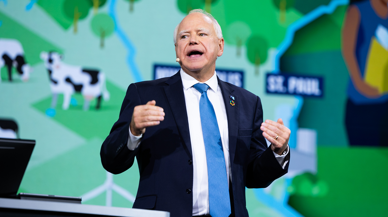
Governor Tim Walz recently addressed the Esri User Conference, highlighting Minnesota's commitment to sustainable development, social equity, and the power of data-driven governance. His speech underscored the critical role of geospatial technology in shaping a future that prioritizes environmental protection and social justice, such as:
These are just a few ways our state agencies are working hard to make Minnesota the most livable and welcoming state in the nation. These measures are part of a broader commitment to equity and justice, particularly benefiting historically marginalized communities.
It’s a big goal we’ve set for ourselves which is outlined in the One Minnesota Plan. And not many people know how much advanced mapping technologies and data visualization play in getting the job done.

Minnesota's cities, the Department of Health (MDH) and the University of Minnesota (UMN) are leading the charge in the removal of lead service lines. Advanced mapping technologies and data visualization tools play a supporting role in this critical work. MnGeo works with state agencies and other partners to ensure that they have the data and support needed to do this important work. It's collaborative efforts like these that are essential not only for improving public health but also for addressing racial disparities, particularly in black and brown communities where many of the affected areas are concentrated.
But addressing lead service lines isn’t the only initiative that depends on advanced mapping technologies and data visualization tools. Here are a few more ways these technologies play a critical role in addressing Minnesota’s environment and improving lives of the people we serve:
Walz made a key connection between accurate maps and Minnesota’s efforts in combating climate change. He noted, "We're able to be very deliberate on our land usage to make sure above all else, we're protecting that peatland.”
Advanced mapping technologies enable precise monitoring and management of Minnesota's natural resources, such as forests and wetlands. This helps in understanding carbon sequestration capacities and planning conservation efforts. For example, geographic information systems (GIS) tools can track the health and growth of forested areas, informing reforestation projects and wildfire risk assessments.
Detailed geospatial analysis is essential in addressing air quality and pollution concerns. By mapping pollution sources and affected areas, state agencies can develop targeted interventions to reduce emissions and protect public health, especially in vulnerable communities.
Data visualization tools play a significant role in designing and optimizing transportation networks. By analyzing traffic patterns, population density, and public transit usage, planners can enhance accessibility and reduce congestion. This not only improves efficiency but also promotes equitable access to transportation services.
GIS is invaluable for disaster preparedness and emergency response. Real-time mapping of weather events, such as floods or tornadoes, allows for quick mobilization of resources and evacuation planning. Additionally, post-disaster assessments use satellite imagery to identify impacted areas and prioritize recovery efforts.
Advanced mapping technologies help in managing agricultural practices by analyzing soil health, crop patterns, and irrigation needs. This ensures sustainable farming practices and optimizes water usage, critical for supporting Minnesota's agricultural economy and protecting water resources.
Data visualization tools aid in planning urban development by identifying areas suitable for affordable housing projects. They also help in assessing neighborhood conditions, such as access to amenities, green spaces, and economic opportunities, guiding efforts to enhance community livability.
We are excited to celebrate the positive impact of geospatial professionals and the notable achievements of MnGeo which plays a vital role in coordinating, guiding, and leading the state's use of GIS technology. Their efforts help Minnesota garner public support and advance its mission for a more sustainable and equitable future.
GIS Technology
Better Government
Citizen Services
Geospatial Services
Maps
